
LiDAR technology has transformed the geospatial industry, enabling unprecedented accuracy and detail in terrain mapping, infrastructure inspection, and environmental monitoring. This guide explains what LiDAR is, how it works, and why organizations across sectors are adopting it for critical decision-making.
What is LiDAR?
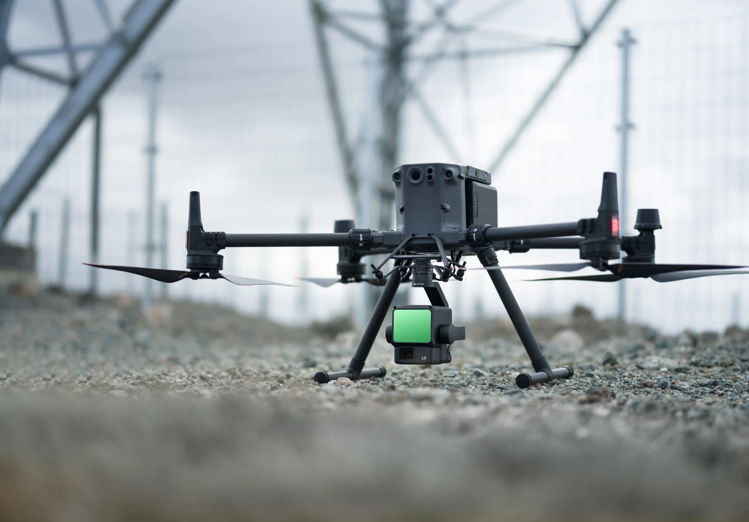
LiDAR stands for Light Detection and Ranging. It's a remote sensing method that uses laser pulses to measure distances to objects and surfaces. A LiDAR system mounted on a drone, aircraft, or ground vehicle emits rapid laser pulses (often 100,000+ per second) and measures the time it takes for each pulse to bounce back after hitting a surface.
By precisely knowing the position and orientation of the sensor (via GPS and inertial measurement units), the system calculates the exact 3D coordinates of millions of points, creating what's called a point cloud – a detailed digital representation of the scanned environment.
Key Advantages of LiDAR
1. Centimeter-Level Accuracy
Unlike traditional surveying or satellite imagery, LiDAR achieves vertical accuracy of ±2-5cm and horizontal accuracy of ±5-10cm, making it suitable for engineering-grade applications.
2. Vegetation Penetration
Multi-return LiDAR can "see through" tree canopy and vegetation, capturing ground elevation even in densely forested areas – impossible with photogrammetry or satellite imagery.
3. Large Area Coverage
Drone-mounted LiDAR can survey 100-500 hectares per day, while airborne systems cover thousands of square kilometers efficiently.
4. Weather Independence
LiDAR works in low-light conditions and cloud cover, providing scheduling flexibility unavailable with optical sensors.
Common Applications
Infrastructure Planning: Road and railway design, bridge inspections, utility corridor mapping
Flood Modeling: High-accuracy terrain models for hydraulic simulations and flood risk mapping
Mining & Quarries: Volumetric calculations, stockpile monitoring, rehabilitation tracking
Forestry: Forest inventory, biomass estimation, canopy structure analysis
Urban Planning: 3D city models, building footprint extraction, change detection
LiDAR vs. Photogrammetry
While photogrammetry (deriving 3D data from overlapping photos) is cost-effective and captures RGB color information, LiDAR excels where:
- Vegetation obscures the ground
- Centimeter-level accuracy is required
- Consistent accuracy is needed across varied terrain
- Low-texture surfaces exist (water, bare soil, uniform roofs)
At Ascend Spatial Labs, we often combine both technologies, using LiDAR for terrain accuracy and photogrammetry for visual context and feature identification.
The Future of LiDAR in Africa
As drone LiDAR systems become more affordable and governments invest in spatial data infrastructure, African countries are increasingly leveraging this technology for sustainable development challenges – from climate adaptation to smart city planning.
The question isn't whether to adopt LiDAR, but how quickly organizations can integrate it into decision-making workflows.
Want to learn how LiDAR can support your next project? Contact our team for a consultation.
Image Source: https://www.propelleraero.com/blog/how-lidar-drone-surveying-works/
